


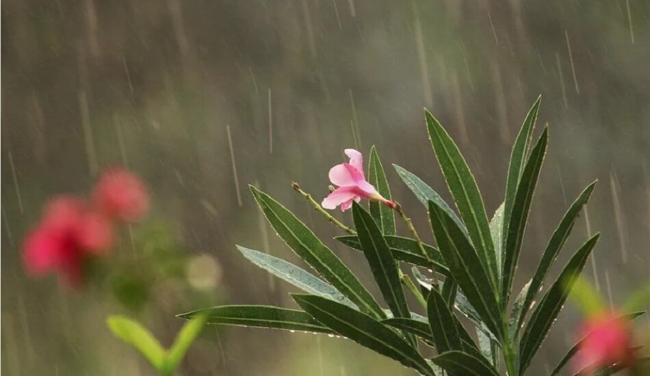
Monsoon-2022 will break the jinx over Karnataka and extend its reach to West Coast.
The monsoon has not moved on from Karwar, Chickamagaluru, Bengaluru, and Dharmapuri, where it was a week ago, and has resulted in a 26% rainfall deficit over parts of the South Peninsula since arriving over Kerala on May 29. As of June 9, the deficits were in ‘large excess’ over Coastal Karnataka (-73%) and Telangana (-68%); ‘deficient’ over Kerala (-58%), Coastal Andhra Pradesh (-34%), and Lakshadweep (-26%). (Thursday).
So far, fortunes have been mixed
However, rain has been normal in South Interior Karnataka (14%), North Interior Karnataka (8%), Tamil Nadu and Puducherry (0%), and Rayalaseema (-3%) after the monsoon displayed an unusual easterly bias for onward spreading this year (normally it pivots around the West Coast and inches its way to the North).
Also Read | The monsoon 2022 forecast has been upgraded by the IMD.
The ‘flawed’ progress is being blamed on the lack of either a supportive cyclonic circulation (onset vortex) over the Arabian Sea or the all-important offshore trough along the West Coast, both of which are typical monsoon features. This has prevented the usual convergence of monsoon flows, as evidenced by a burst of rainfall.
Monsoon was left to its own devices
The main reason for this not happening is the unforgiving attitude of the atmosphere above the Indian Ocean. It has not allowed a helpful Madden-Julian Oscillation (MJO) wave to travel from West to East over the Arabian Sea and the Bay of Bengal, assisting in the formation of moisture and clouds.
According to the India Meteorological Department, there is no sign of the wave approaching the Indian Ocean in the next two weeks (IMD). This allows the monsoon to power itself through its own dynamics, which is taking time after a deep western disturbance traveling in the same direction over North/Central India slowed its progress from Sri Lanka.
May better align and strengthen
According to an IMD forecast, the monsoon flows will align better and strengthen primarily along the Konkan and Goa coasts over the next two days. Over Karnataka, Kerala, Mahe, and Lakshadweep this week (June 9-15), there will be fairly widespread or widespread or light/moderate rain, thunderstorms, and lightning. During most days of the week, it will be scattered to fairly widespread across Andhra Pradesh, Tamil Nadu, Puducherry, Karaikal, and Telangana.
Also Read | IMD anticipates that India will experience moderate monsoon rains in 2022.
Heavy rain is expected
Isolated heavy rain is expected in South Interior Karnataka on Sunday, Coastal Karnataka until Monday, and Kerala on Saturday and Sunday. During most days of the week, fairly widespread to widespread rainfall with thunderstorms, lightning, and gusty winds is expected over Konkan and Goa (including Mumbai) and scattered to fairly widespread rainfall with thunderstorms, lightning, and gusty winds over Madhya Maharashtra and Marathwada. On Friday and Monday, isolated heavy rain is expected over Konkan and Goa, with isolated very heavy rain on Saturday and Sunday.


Add Comment