


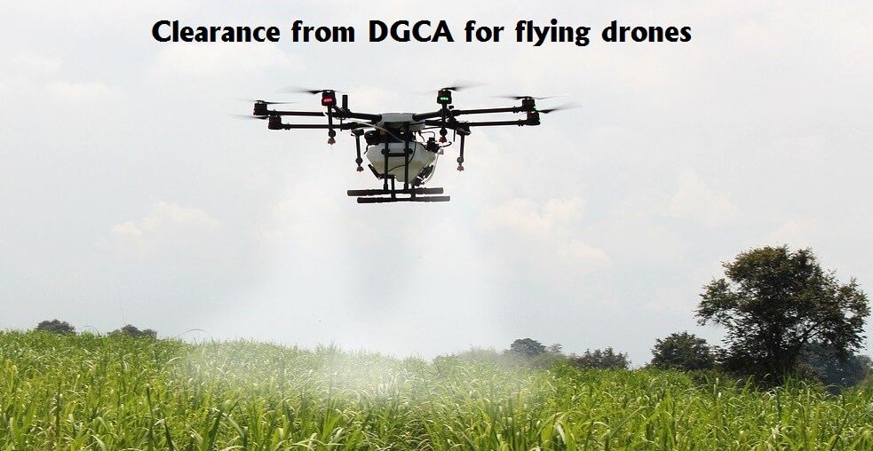
The Ministry of Agriculture has gets clearance from the Directorate General of Civil Aviation (DGCA) aviation regulator for flying drones to capture images of rice and wheat fields in 100 districts to evaluate crop yields under the Pradhan Mantri Fasal Bima Yojana (PMFBY) at gram panchayat level, Union Minister Narendra Singh Tomar said that on Thursday.
This is the first major pilot study based on remote sensing technology conducted so far in the country for crop yield estimation, the agriculture minister said in a tweet.
Also Read: Govt permits ICRISAT conditional utilization of drones for agricultural research
In addition to drone-based images and videos, the large scale pilot study also uses high spatial resolution satellite data, biophysical models, smart sampling, artificial intelligence, among others, he stated.
Tomar tweeted, ‘To ensure timely settlements of claims under PMFBY, @ DGCAIndia has approved the proposal of @ AgriGoI for flying drone over 100 districts growing rice and wheat,’
The Minister noted that several remote sensing data-driven pilot studies were conducted across the country under PMFBY to determine the optimum number of ‘Crop Cutting Experiments (CCE)’ for smart sampling technique and CCE rationalization and direct yield estimation in order to assess accurate crop yield loss at the insurance unit.
Also Read: Karnataka listed three districts to promote rose onion export under AEP
For Kharif 2019 and Rabi 2019-20, approximately 13 agencies were engaged to develop technology-driven approaches for direct yield estimation at gram panchayat level for pilot studies.
The agencies conducted studies for 9 crops for Kharif 2019 in 64 districts of 15 states with the help of satellite, unmanned aerial vehicles (UAV), biophysical models, smart sampling and other advanced crop yield estimation statistics technologies, he said.
During the 2019-20 Rabi season, the pilot studies continued for rice and wheat growing districts to confirm crop yield results obtained in Kharif 2019, he added.
“In consideration of excellent performance of pilot studies, the Expert Committee has suggested that there is a huge scope of use of technology under #PMFBY for GP level yield estimation,” the Minister stated.
Also Read: Usage of Latest Technology and Modern Machineries in Agri Sector
Seven agencies such as CropIn, Agrotech and ICRISAT have been selected for large-scale pilot studies for Kharif 2019 and Rabi 2019-20, he said, based on advanced technology used by the agencies and modeling precision.
Drone images are critical input parameters produced by the agencies for crop yield estimation at gram panchayat level.
In addition, the Minister clarified that the use of UAV data in the scheme would bring a new dimension to ensuring that claims in the scheme are resolved in a timely manner, as well as to estimate crop area losses due to localized calamities and to resolve yield disputes between the various stakeholders under the scheme.
Also Read: Unseasonal rainfall has increased the burden of the Karnataka coffee growers
The use of UAV data with high spatial resolution may also be explored in other agricultural schemes in India, he stated.


Add Comment