






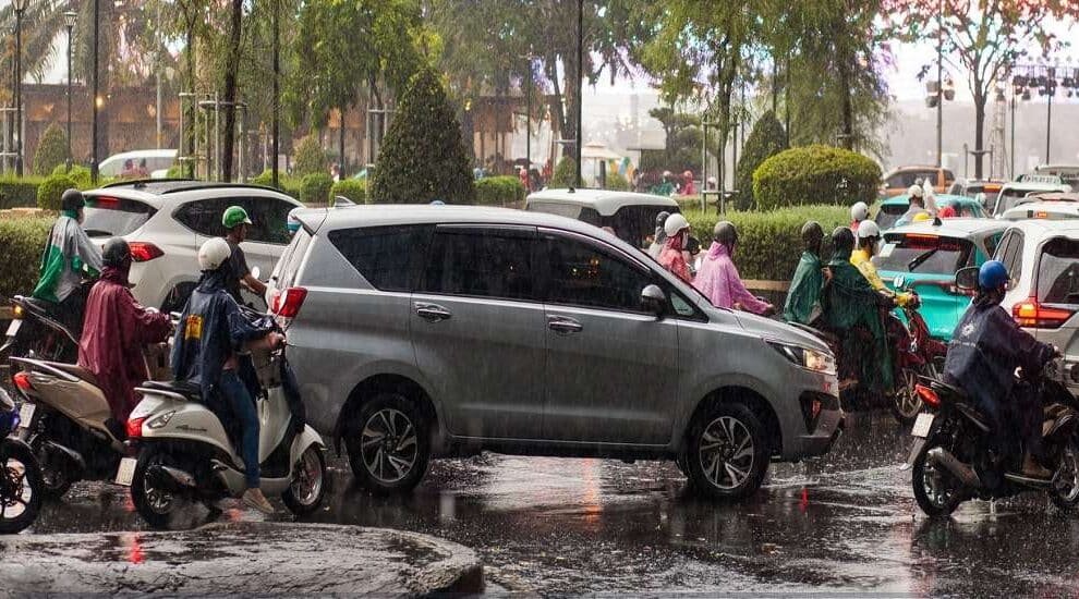
The India Meteorological Department (IMD) has maintained its forecast for isolated heavy rainfall across parts of southern India over the coming days. Kerala and Mahe are likely to experience heavy showers for six days from Monday, while South Interior Karnataka is expected to receive similar rainfall for five days. Coastal Andhra Pradesh, Yanam and Rayalaseema may witness isolated heavy rainfall for three days from Monday as the rain belt gradually shifts towards Kerala and Karnataka.
Lakshadweep is also likely to receive isolated heavy rainfall for three days beginning Wednesday. From Thursday, another spell of rain is forecast to affect Tamil Nadu, Puducherry and Karaikal for three days.
Bengaluru Expected to Remain Mostly Clear
Bengaluru, Mysuru, Tumakuru, Mandya, Hassan, Shivamogga, Chikkamagaluru, Chitradurga, Davanagere and Kolar are among the major cities and towns within the South Interior Karnataka meteorological subdivision. However, local weather conditions may vary across these locations.
Also Read | ‘Girls Don’t Want Agri Bachelors’: Karnataka Farmer Makes Unusual Appeal to CM
Bengaluru was partly cloudy at 10.30 am on Monday, with a relatively low chance of thundershowers during most of the day. Despite the broader forecast of heavy rainfall in parts of South Interior Karnataka, the city is expected to remain largely clear.
Chennai Forecast to See Sunshine and Showers
Chennai is likely to experience a combination of sunshine and rain on Monday, with the probability of rainfall gradually declining towards midnight.
According to the European Centre for Medium-Range Weather Forecasts (ECMWF), the chance of rain is expected to reach 44% at 11 am before falling steadily to 23% by 6 pm. Rainfall activity is likely to move from the northern and north-eastern parts of the city towards the west and west-southwest. Conditions could briefly become clearer by 8 pm.
Rain-bearing clouds are expected to concentrate around the stretch between Pulicat Lake and Chennai, including the adjoining coastline and parts of Puducherry. Rainfall may also extend west-northwest towards Salem, Tiruchirappalli, parts of Dindigul, Madurai and Thoothukudi. Some Delta districts could also see an increase in rainfall during the day.
Cyclonic Circulations and Troughs Influence Weather Patterns
In its Monday morning assessment, the IMD attributed the prevailing weather conditions to an upper-air cyclonic circulation over the south-west Bay of Bengal and the adjoining north Tamil Nadu coast. A trough extending towards the north-west Bay of Bengal is also contributing to the current weather pattern.
Other cyclonic circulations were present over North Interior Karnataka, the Gulf of Thailand, and south-east Bangladesh and Tripura on Monday. These atmospheric systems are likely to influence rainfall distribution across southern India as they evolve.
New Rain-Bearing System Possible Over the Bay of Bengal
Meteorologists are closely monitoring a circulation moving westward from the Gulf of Thailand towards the Andaman Sea. The system could develop into a low-pressure area and strengthen as it progresses. The IMD broadly agrees with this possibility, indicating the potential formation of a new rain-bearing system over the Bay of Bengal.
The likelihood of a second system developing over the Arabian Sea remains more uncertain. The ECMWF continues to project the formation of a low-pressure area near Lakshadweep, which could intensify while moving towards the north Karnataka-Goa coast. The IMD, however, appears less certain about this development. Also Read | Soil, Water and Crop Health: Building a Sustainable Future for Indian Agriculture
Rainfall Distribution and North-East Monsoon Outlook
If both systems develop, they could influence moisture movement and rainfall distribution across the southern peninsula. However, current model projections suggest that it is too early to conclude that the systems would necessarily weaken the north-east monsoon.
Their eventual tracks, intensity and interaction with existing atmospheric circulations will determine the broader impact. While some areas could receive increased rainfall, others may experience reduced precipitation, with rainfall activity potentially shifting between different parts of the region.
The coming days will therefore be important for assessing how these weather systems develop and influence rainfall patterns across southern India.







Add Comment