ICRISAT developed spatial maps for mapping Agri land & insurance claims
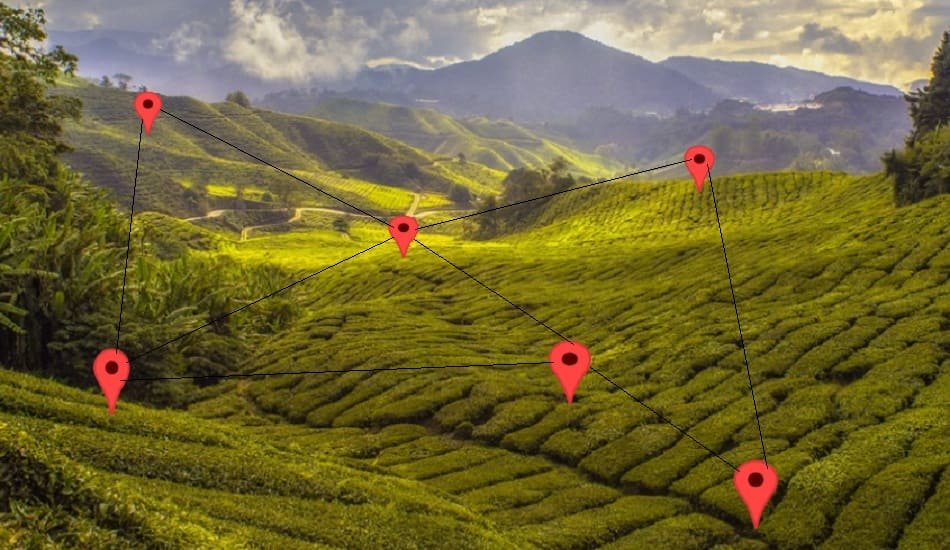
Scientists at ICRISAT (International Crops Research Institute for the Semi-Arid Tropics), have developed high-resolution spatial maps for farmland mapping for insurance claims and governments in collaboration with the Asian Development Bank (ADB).
The maps show all of South Asia, which is home to 1.9 billion people and has 230 million hectares of net farmland.
Also Read | Walmart & ICRISAT jointly launched Secondary Processing Unit to help FPOs
The maps have a resolution of 30 m, which is useful for determining crop field specifics for food and water security assessments. These parameters are currently assessed using coarse-resolution data ranging from 250 m to 1,000 m.
Physical ground surveys take a lot of time and need a lot of surveyors to figure out and confirm the effects of floods and droughts. But spatial maps make it possible to get a good idea of how these natural disasters will affect crops, policies, and insurance companies. This saves time and effort.
‘Spatial mapping is a quick and efficient method for helping agriculture policymakers to reduce climate risks,’ stated Arvind Kumar, Deputy Director-General, Research, International Crops Research Institute for Semi-Arid Tropics (ICRISAT).
‘To make the claims process more accurate and effective, insurance firms and government agencies require high-quality satellite images to monitor and track floods, droughts, and other climatic events,’ he said.
Agriculture that is regenerative
Research Program Director (Resilient Farm and Food Systems) at ICRISAT, ML Jat, says that geographical maps could be used to improve regenerative agriculture, which promotes farming that is good for the environment.
‘Crop type mapping can also guide where and how regenerative agriculture can be implemented,’ he says. Also Read | Creating customized agronomic packages for groundnut farmers-ICRISAT
‘The data would aid in the generation of development models for accurate monitoring and decision-making across the region,’ stated Murali Krishna Gumma, Principal Scientist and Cluster Leader (Geospatial Sciences and Big Data), ICRISAT.
According to an ICRISAT spokeswoman, the team’s three unique spatial maps could analyse irrigated versus rainfed croplands, crop types or crop dominance, and cropping intensity (the number of times a crop is planted on the same piece of land in a year).


Add Comment