First time in the country, a village-level crop map was launched by an Agri-tech start-up.
RMSI Cropalytics, an agri-tech start-up in Noida and a subsidiary of RMSI, a company that provides geospatial and engineering solutions, has released what it calls the first village-level crop map in the country.
The start-up uses advanced modeling, machine learning, and Agri and meteorological domain expertise to provide detailed information and data analytics about agriculture.
High-resolution sowing area
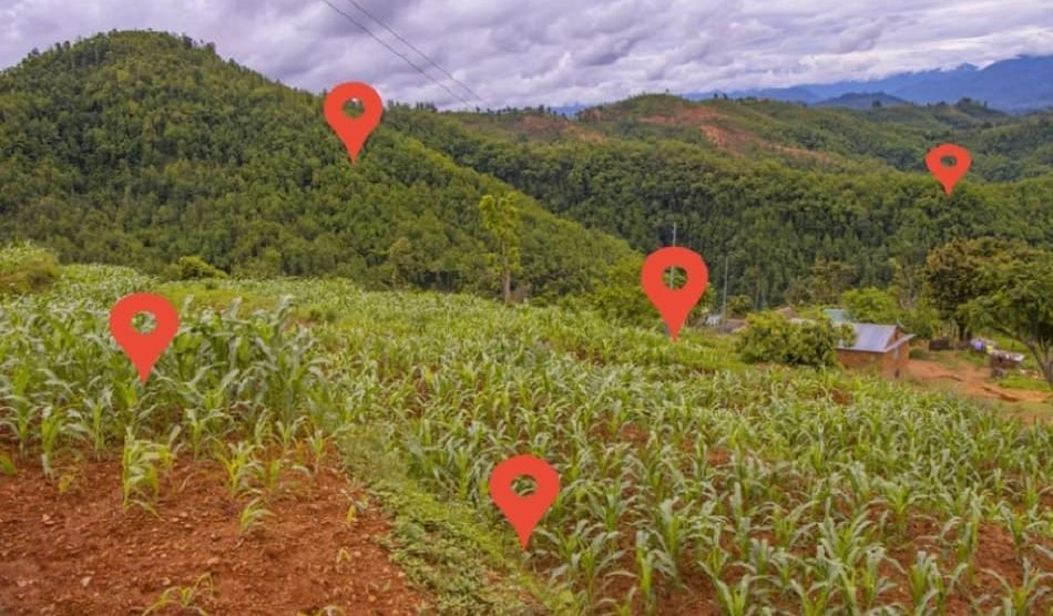
The crop map has a high level of detail about where the land that has been planted is right now. At the moment, crop acreages are estimated on a state or district level, but they aren’t marked or checked on maps.
A representative for the start-up told BusinessLine that the RMSI Cropalytics crop map will be updated at the village level every Kharif and rabi season. The map will include paddy, soybean, maize, sugarcane, and wheat.
Also Read | Actions on production, processing, rural markets, doubles farmers’ income.
He said what Roli Jindal, the company’s co-founder, had said: ‘This is the result of years of technical research and the use of artificial intelligence on images from far away. The map will be updated every season to include the major crops. This will make it easier for villages to get a better idea of how much land they have and if farmers are in trouble,’ Jindal said.
Putting together useful data
RMSI Cropalytics will help people who make decisions in government, crop insurance, the agri-input sector, commodity trading, and the social sector by giving them end-to-end analytics solutions. It uses new, scalable technologies like satellite imagery, drone technology, mobile platforms, and Internet of Things (IoT) sensors on the ground to collect data.
These data are then used to build AI/ML models using advanced forecasting techniques and predictive analysis. It makes the crop map useful by adding useful information on top of it, such as village boundaries, farm sizes, crop health, weather forecasts, yield estimates, and who owns the land.
It allows accurate acreage estimates by village and clearer identification of agrarian distress, as well as making decisions based on data about where to put resources, how to reduce risks, and what to buy.
Also Read | CSC and KRIBHCO partnered to use four lakh village-level entrepreneurs.
Use of technology by farms
The crop map will make several agri-tech applications possible, such as remote farm monitoring, weather risk management, crop/pest detection, and yield estimation. It will also help the agri-ecosystem move faster toward digital adoption.
The parent company, RMSI, has 30 years of experience in geospatial analytics, which is the combination of earth sciences, remote sensing, and modeling of climate risk. It does a lot of work in disaster management by mapping natural disasters like floods, cyclones, and earthquakes. It is one of the most important companies in the mapping industry.


Add Comment